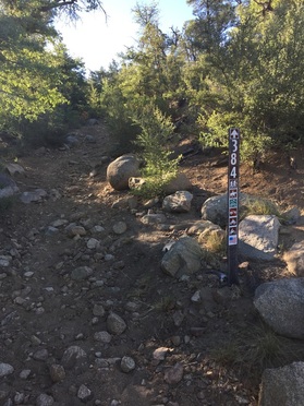
This was my first time hiking the Wolf Creek Trail and it is less than 7 miles south off of Senator Highway. Once the road turns to a dirt road, you go right on County Road 101 (look for the sign to Wolf Creek Campground). There are two places where the trail crosses County Road 101. The first parking area is about .4 miles from Senator Highway turn-off. The other parking area is about a mile and a half further west. To get to the west parking, you pass by both the Upper Wolf Creek Campground and the Lower Campground and continue about .6 miles farther. I drove past the west parking area as it is not really a "parking area" but just a spot where 2 cars can park off the road but found it after turning around to head back toward the Campgrounds. The road is pretty rough so if you don't have a SUV or pick-up it is much easier to park at the east parking area.
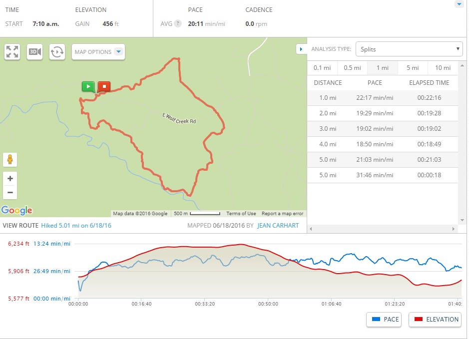
The loop is about 5 miles and the elevation gain is less than 500 feet. I started the loop clockwise from the west parking area. This would be the steepest part of the trail and is made more difficult by about 2 inches of sand and rock. Once you get to the top elevation, it is then a nice gradual downhill all the way to the Hassayampa River bed (which was dry).
The loop is about 5 miles and the elevation gain is less than 500 feet. I started the loop clockwise from the west parking area. This would be the steepest part of the trail and is made more difficult by about 2 inches of sand and rock. Once you get to the top elevation, it is then a nice gradual downhill all the way to the Hassayampa River bed (which was dry).
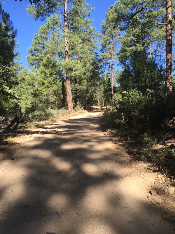

It is a bit disappointing that the "trail" is about half forest road and much of the rest of the trail is either rocky or sandy. The trail is also in need of some serious maintenance (a tree down and several areas that have had shortcuts that detract from the hiking paths). It was mostly shady, so makes a great hike in warmer weather.
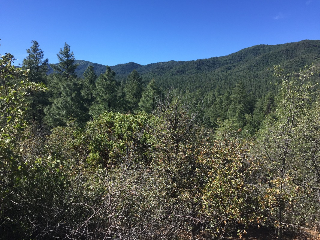
As you head back around to the road (slightly uphill), there is a good view of the valley to the west. It took less than 2 hours to hike the loop trail.
As you head back around to the road (slightly uphill), there is a good view of the valley to the west. It took less than 2 hours to hike the loop trail.


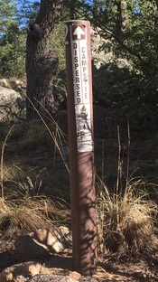
There were several "dispersed campsites" along the trail, and I was amazed that none of them were being used. They are all set up so you can drive on the forest road direct to somewhat secluded site and it is all setup for camping including fire pits and is just a short 15 minute walk or couple minute drive to the restrooms.
The forest roads are open to motorized vehicles (jeeps/ATVs) and you can see they are heavily used for that purpose. The trail is very lightly used for hiking, and if you head out early you can pretty much avoid the ATVs. I only saw one other group of hikers on the entire 5-mile trail!
The forest roads are open to motorized vehicles (jeeps/ATVs) and you can see they are heavily used for that purpose. The trail is very lightly used for hiking, and if you head out early you can pretty much avoid the ATVs. I only saw one other group of hikers on the entire 5-mile trail!

This hike gets only 3 boots for the disappointing "trail" but the shade on the trail makes it a good summer hiking choice.
 RSS Feed
