Another one of my favorite hikes! I start with the hardest part first - heading straight up Trail #33 to the summit - it is paved so it can be done without trail shoes. Elevation gain is about 500 feet in only .7 miles.
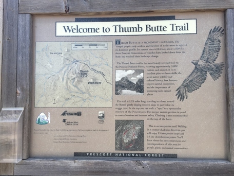
Trail #33 is hiking only, so there are no bikes. Parking at Thumb Butte is $5 or use the Prescott National Forest permit.
Trail #33 is hiking only, so there are no bikes. Parking at Thumb Butte is $5 or use the Prescott National Forest permit.

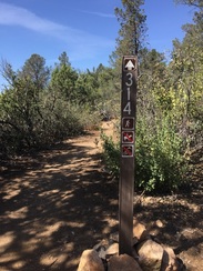
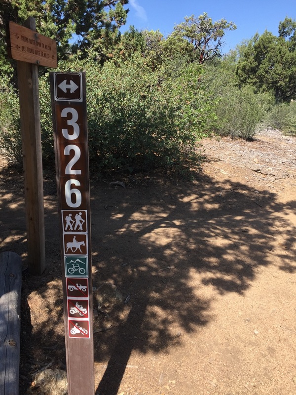
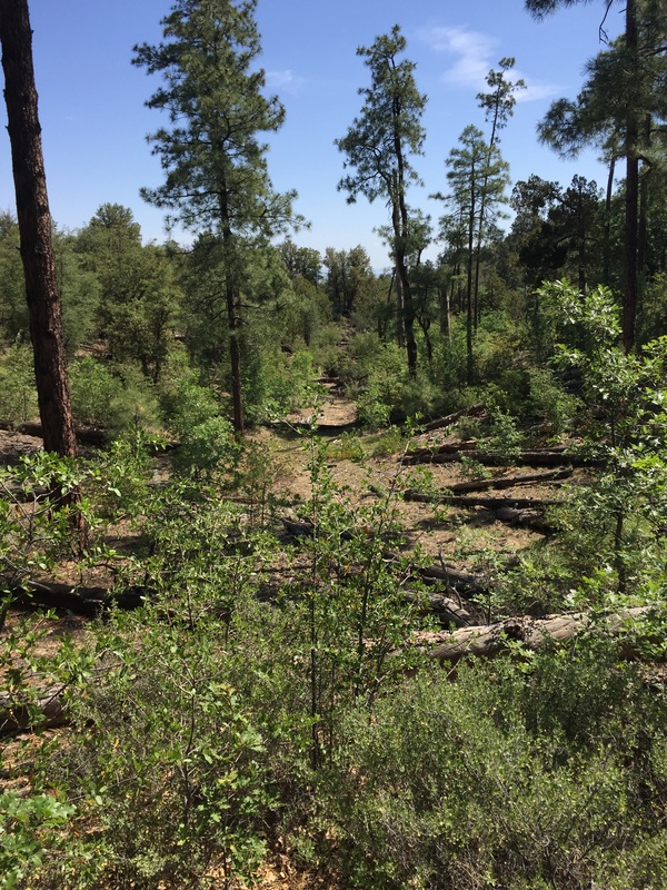
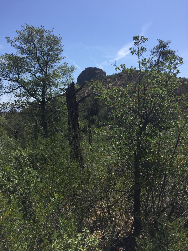
Once you get to the top, there is a trail that can take you to the base of the rock part of Thumb Butte, but for a good portion of the summer it is blocked off because of nesting birds. Continue on Trail #33 until you see the trail marker for #314. This part is pretty level and takes you over to Trail #326. On Trail #326 we head right and downhill. This section travels through a burned-out section of the forest. Most of the dead trees are now on the ground - a couple years ago you could hear those trees groaning and imagined each one falling as you passed by. This trail is a favorite for bikers, so keep aware.
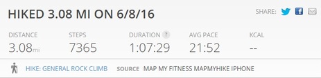
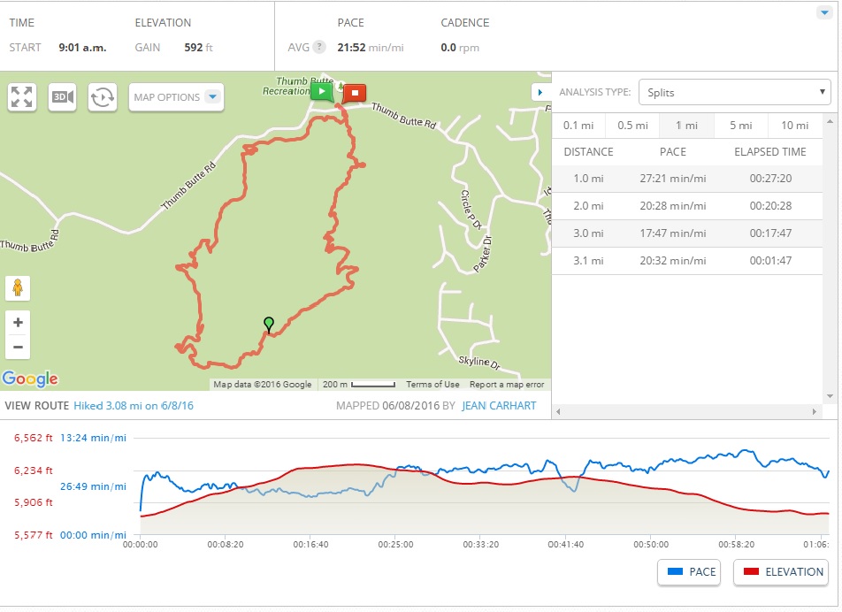
You eventually end up at the stream and circle around to the right back to the parking lot. I forgot my Garmin, so I downloaded the MapMyFitness App for the iPhone. I like this app - hike summary is below - about 3 miles, completed in just over 1 hour.
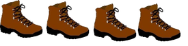
I give this hike 4 boots out of 5. The hike up to the summit is strenuous, but overall the hike remains one of my favorites.
 RSS Feed
