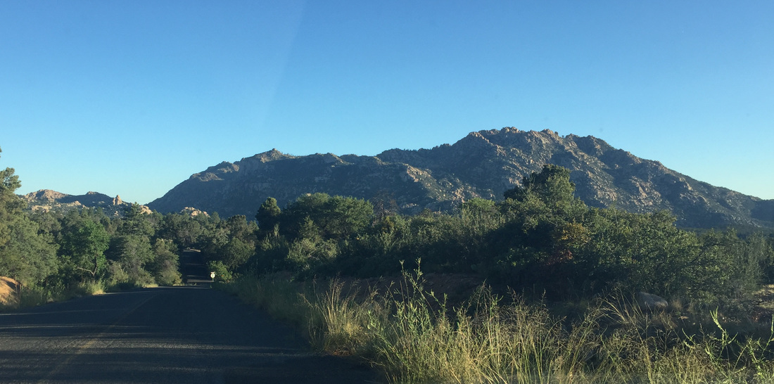
To get to the Granite Mountain Trailhead, you take Iron Springs Road about 3 miles to Granite Basin Road, then travel just about 4 more miles to the Metate Trailhead. There is a day fee of $5 or you can use the Prescott National Forest Parking Pass. The trail starts just across the road from the parking area.
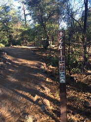
The trail starts pretty level and takes you to the edge of the Granite Mountain Wilderness Area where there is a board with information about the area. There is also a sign-in / sign-out sheet so that the Park Rangers can know if there people on the Mountain.
The trail starts pretty level and takes you to the edge of the Granite Mountain Wilderness Area where there is a board with information about the area. There is also a sign-in / sign-out sheet so that the Park Rangers can know if there people on the Mountain.

The first two miles of the trail is pretty easy (less than 300 feet altitude gain) with some great views of the Mountain. It makes a great round-trip hike of about 4 miles total. A good portion of this is shaded.
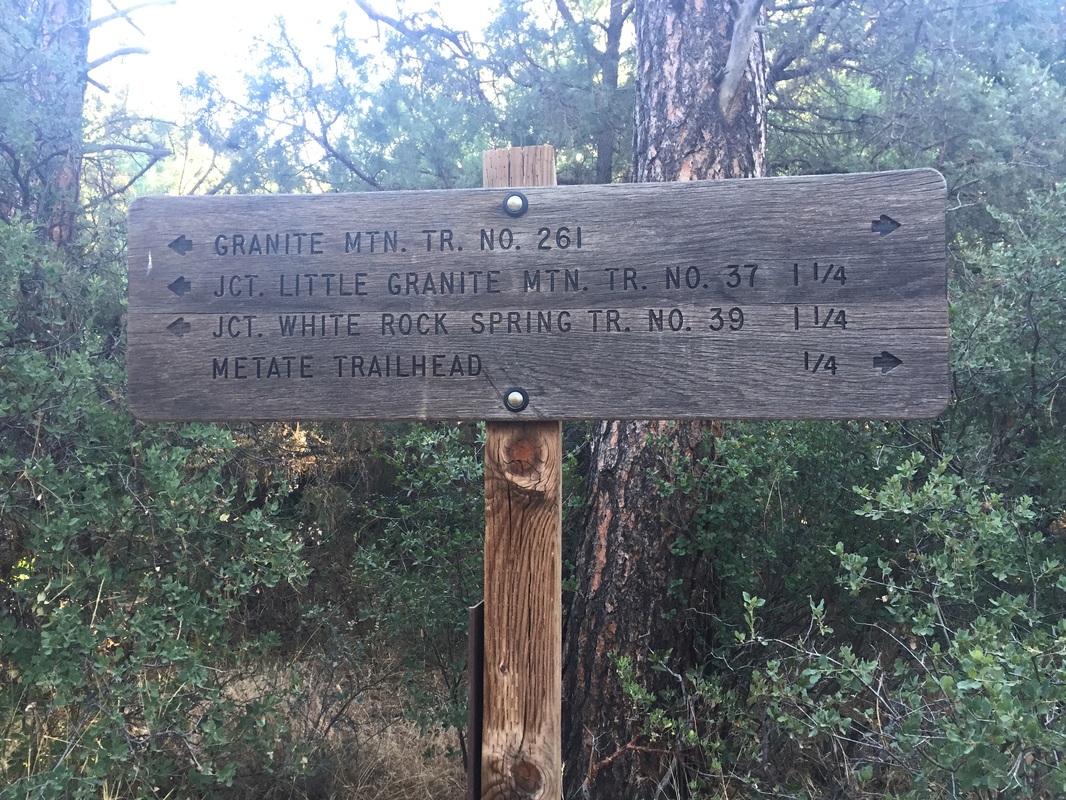
Once you reach the intersection of the summit trail with Little Granite Mountain Trail #37, you take a right through the gate and start heading up the mountain.
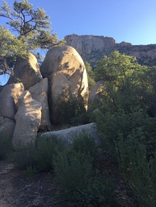
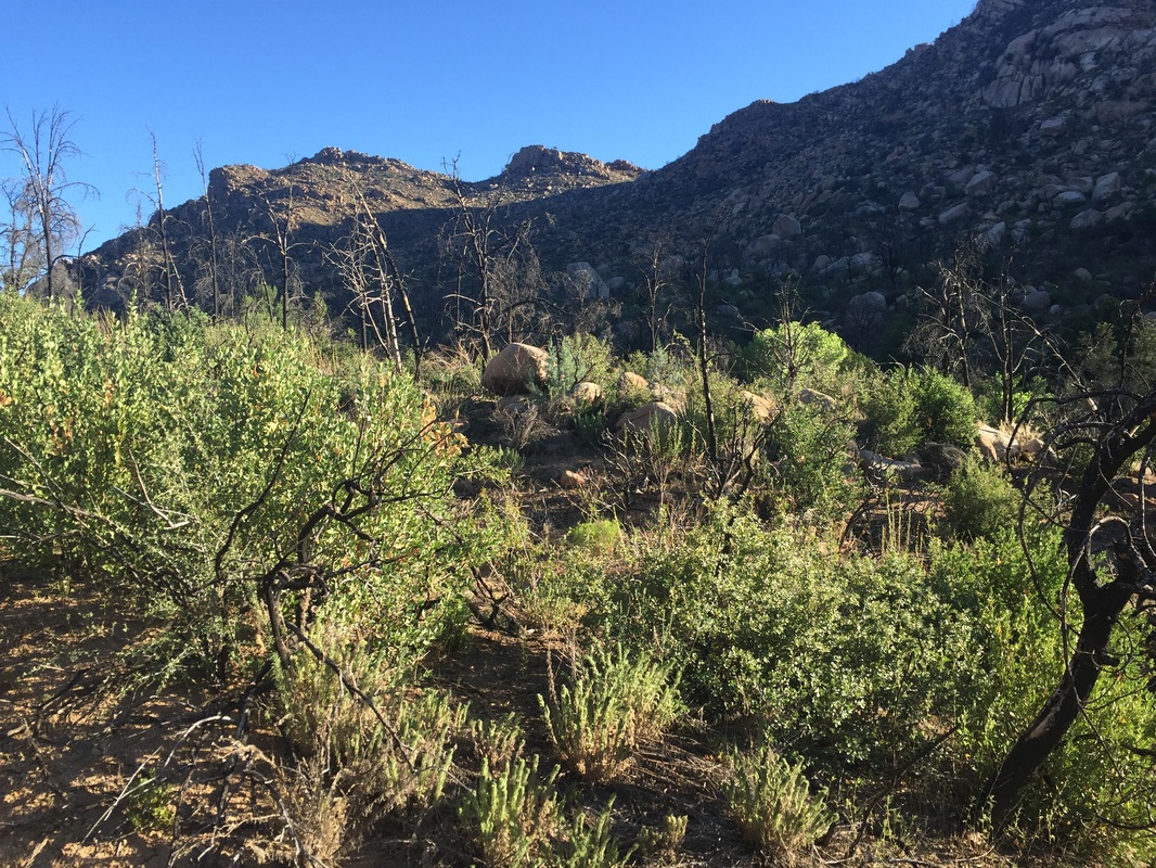
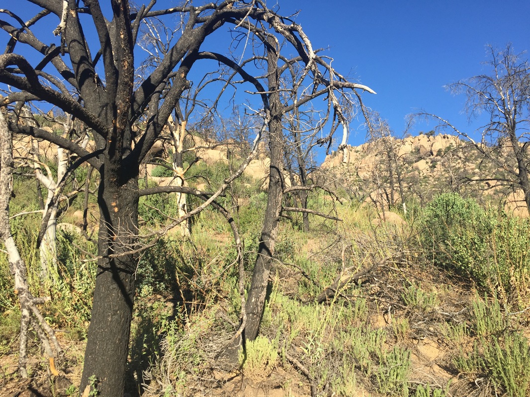
Here you see the effects of the Doce fire from 2013. I wish I had done this trail before the fire - it must have been incredible!
Once you reach the intersection of the summit trail with Little Granite Mountain Trail #37, you take a right through the gate and start heading up the mountain.
Here you see the effects of the Doce fire from 2013. I wish I had done this trail before the fire - it must have been incredible!
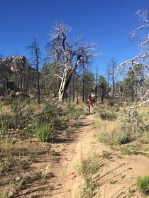
The steep part of the trail is about a mile and a half long and is the hard part of the hike. There is no shade and will be very hot in the summer. If you start out early enough, the mountain will shade the trail - I started at 6:30am and did not get any direct sun until I reached the plateau of the mountain. The remaining path to the summit is almost flat and very pretty.
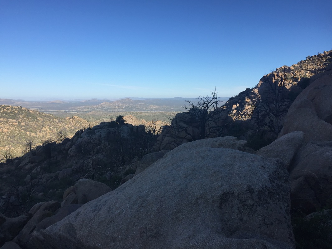
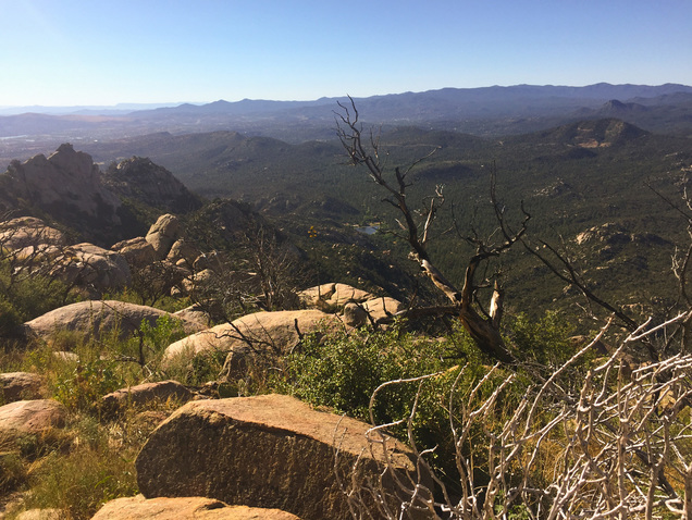
Once you reach the summit, you can definitely tell how high you have climbed (over 1500 feet). You have a great view of Granite Basin Lake below and the vast Prescott area. Even Thumb Butte looks just like a bump on the horizon (far upper right of the photo below).
Once you reach the summit, you can definitely tell how high you have climbed (over 1500 feet). You have a great view of Granite Basin Lake below and the vast Prescott area. Even Thumb Butte looks just like a bump on the horizon (far upper right of the photo below).
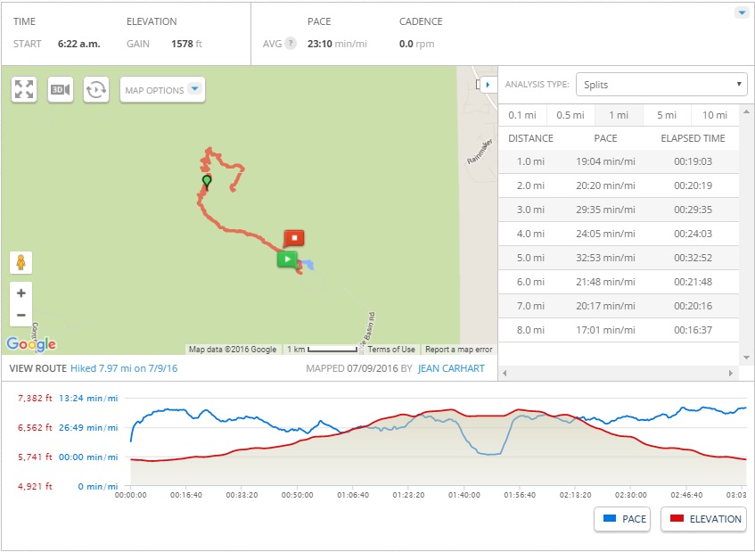
The total distance round trip is about 8.4 miles - allow for about 4 hours with a 20 minute stop at the summit. I have created a course from the Summit to the Wilderness border on MapMyHike.

I love this hike and will do it again (in cooler weather). This hike gets 4 and a half boots.
 RSS Feed
